Produce more
from every acre.
Agriculture doesn’t need more data.It needs better decisions and proven results.
- More yield per acre
Land
Find underperforming acres, manage crop zones and trials.
- Save time
Labour
Scout thousands of acres without boots in every field.
- Works with what you own
Equipment
Send prescriptions straight to the machinery you own.
- Precise, repeatable applications
Drones
Mission planning and variable-rate applications with ease.
- Lower input costs
Inputs
Apply crop protection and fertility only where it’s needed.
- One view of the operation
Management
One intelligence layer across the whole operation.

agronome.ai connects the data, land, machines and drones already on your farm, turns it into decisions, and sends the work straight to the field: from planting and emergence, through drone scouting and targeted application, to harvest and the processor.
The opportunity
Your farm’s data is everywhere.Now it works together.
A modern farm already generates data from equipment, satellites, drones, lab results, weather stations, planting and harvest systems, to name a few. Almost none of this data talks to each other to deliver a complete picture. Connected, it becomes one of the most valuable assets on your farm.
We didn’t build another sensor. We connect them.
Your operation, in one clear picture.
Every new piece of data adds to what you already know.No duplicates, no re-entering.
Today: scattered across systems
Our mission: precision agriculture that’s easy to adoptand pays for itself.
01 · Collect
Every source, connected
Automatically collect and connect data from systems you own, have access to and public sources.
02 · Process
Maps and reports, built for you
Imagery, machine and lab data processed into field maps, layers and reports. No GIS desk required.
03 · Decide
Insight you can trust
Insights, trends and recommendations with just the right data to validate and trust your intuition.
04 · Act
Decisions, applied
Move fast on data-driven decisions, with actions automated straight to your equipment.
The connected layer
One agricultural data layer.Every machine. Every acre.
agronome.ai isn’t another piece of farm equipment. It’s the layer connecting the equipment, drones, labs and imagery already on the farm, regardless of brand. Data flows in, decisions flow back out to the field, and results carry all the way to the processor.
Farm data
Equipment, yield, plantingsoil and tissue labs
Weather & water
Stations and forecastsirrigation and rainfall
Drone & satellite
Stand count, canopy, scoutingcrop health all season
Maps & reports
Orthomosaics, index layerszones and field reports

SPUD (AI)
Insights, trends, alertsrecommendations you trust
Rx & equipment
Variable rate, spot spraystraight to cab or drone
Harvest
Yield measures the resulttrials and season reports
Processor
Projected supplysustainability signals
From soil to sky. Every layer connected.
Manufacturer-agnostic. No lock-in.
Move data between equipment ecosystems without being tied to one manufacturer.
Meet your AI agronomist
Meet SPUD.
Soil · Plant · UAV · Diagnostics
Every field, season and source in one place. Just ask SPUD, trust your intuition.
- 1
Ask SPUD anything, from the field or the office.
- 2
SPUD reads it all: soil, equipment, drone, satellite, tissue and yield.
- 3
You decide, with the evidence and the next step on the map.
Your knowledge + Your data.= Your decisions.
Connected to your field data
ExampleWhy does the hilltop at the back of my field always yield less?
That knoll has lagged for three seasons. Your data points to four causes:
- Thin, compacted topsoil. Lower organic matter on the survey, and the tractor works harder through this section in both directions.
- It dries out first. Water runs off the slope, so tubers hit drought stress during bulking.
- It shows up early. Drone scans flagged lower canopy vigour here weeks before the rest of the field.
- Tissue tests came back low. Petiole samples from the knoll were short on manganese and magnesium.
Recommendation
Foliar manganese at 1 kg/ha and magnesium at 2 kg/ha on the knoll at tuber initiation, with a second pass 10–14 days later.
Input costs
You can’t control the market.You can control your inputs.
Inputs are the biggest cost on the farm. Every litre, pound and pass you don’t need is margin back in your pocket, and every hour saved is time for the work that matters most.
Fertilizer
Variable rates by zone, so nutrients go where the crop can use them.
Crop protection
Spot and variable-rate spraying instead of blanket passes.
Fuel & passes
Fewer trips across the field, and scouting done from above.
Labour & time
Scout thousands of acres without boots in every field, and cover more acres per person.
Water
Irrigation timed and placed with field data, not guesswork.
The wrong call
Decide with evidence, so you don’t pay twice to fix it.
Lower input costs. Time back. More margin.
Spot-spray prescription· one lever, worked through
ExampleThis field
7.5 of 50 acres treated
Product in the tank
- Whole field
- 1,400 L
- Spot spray
- 165 L
88% less product
19 L/ac · 5.0 ac 28 L/ac · 2.5 ac
Automation
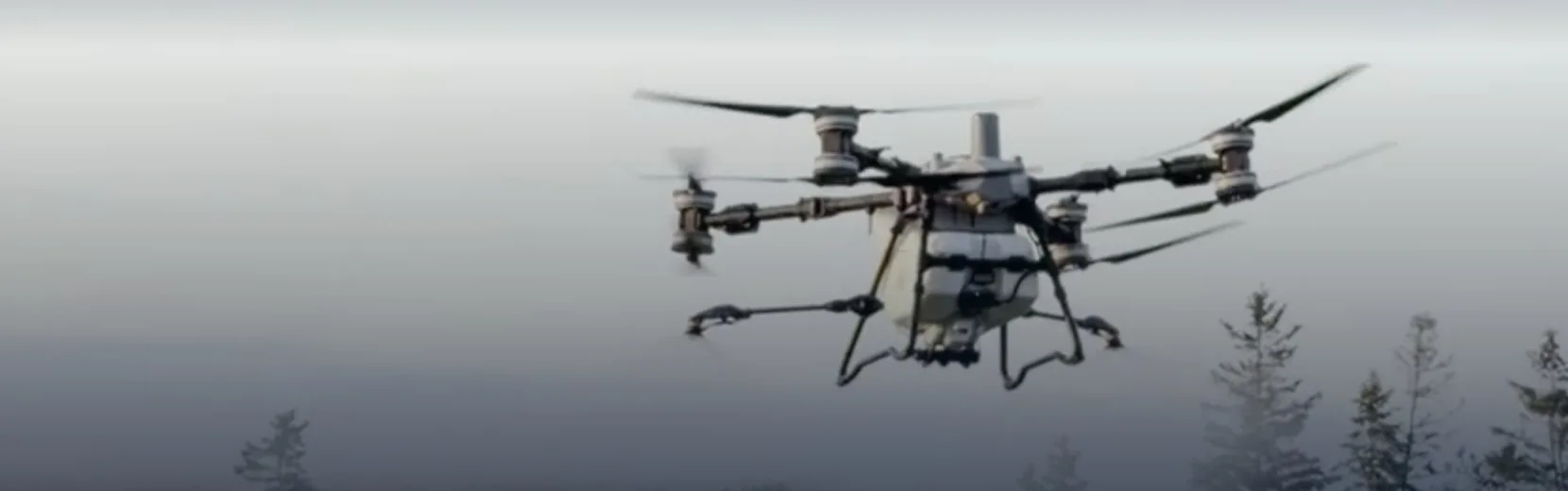
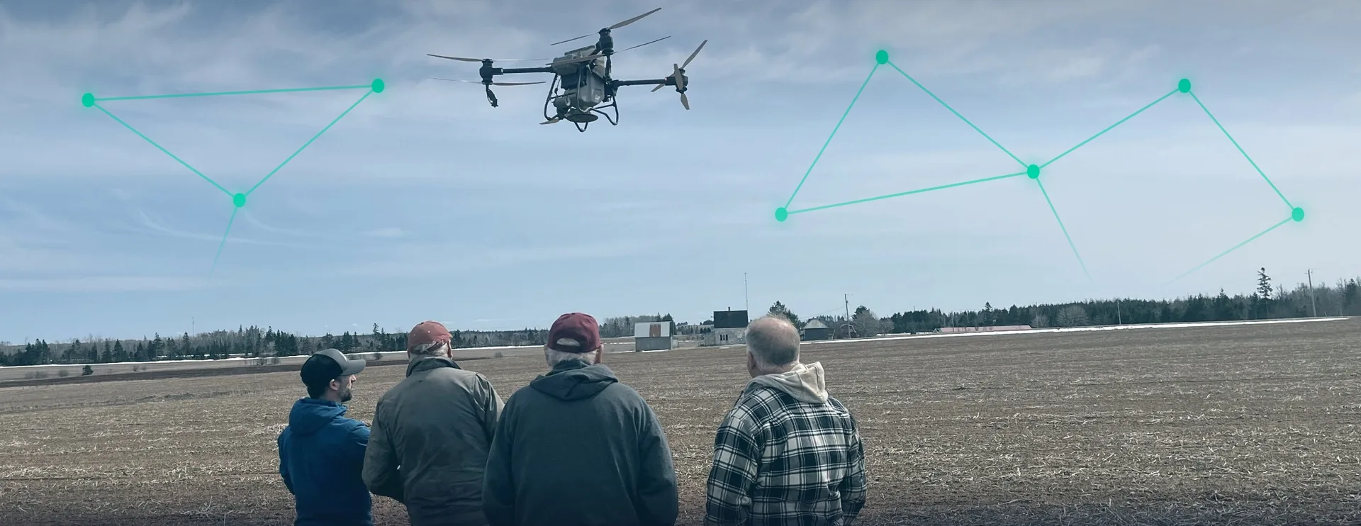
The intelligence layer that coordinates autonomous agriculture.
We built a lot to make drones easy to operate and genuinely valuable. But a drone is one sensor and one actuator. The value is in what connects them: knowing where to fly, what to look for, what to apply, and proving it worked.
Flight mission
In flightLive operations
4 active- Drone 1Scouting · 62%
- TractorPlanting · 4.1 km/h
- SprayerVRA pass 3 of 8
- Drone 2Spot spray · 18 L
Today
- 1Satellite watches every field
- 2AI flags the anomaly, and you dig into the insights and correlations
- 3A drone investigates
- 4You build the prescription with agronome.ai
- 5Your equipment applies it
- 6The platform measures the result and validates it
Where it’s going
- Autonomous scouting
- Autonomous treatment
- Verified results
- Processor visibility
The more of the loop that runs itself,the more acres every grower and agronomist can cover,with their judgement and intuition still in charge.
Field to processor
When one farm learns,every farm grows.
A common picture of what is growing, where it is, how it’s progressing, what was applied and what supply is likely to arrive. Shared across the people who grow, advise on and buy the crop.
Earlier visibility lets processors plan procurement, logistics, storage and production before the crop reaches the plant.That’s a more predictable, more secure food supply at home.
- Planting
- Emergence
- In season
- Harvest
- Processor
Growers
Lower costs and higher production on their own operation.
- Inputs only where the crop needs them
- A full-season record of every field
- Proof of what worked, at harvest
Agronomists
Manage more acres per person, across every client.
- Every client and equipment brand in one place
- Scout from above, walk only where it matters
- Recommendations backed by evidence
Processors
See the crop coming before it reaches the plant.
- Crop development and projected supply
- Sustainability and compliance signals
- Plan procurement, logistics and storage earlier
Food system
More predictable production, stronger at home.
- Fewer supply surprises
- Stronger domestic supply chains
- More secure food at home
One common operating picture
- What’s growing
- Where it is
- How it’s progressing
- What was applied
- What supply is coming
Data sovereignty
Built in Canada.Sovereign by design.
Your data stays yours, under the rules of the country you farm in. We’re starting in Canada, for Canadian agriculture first.
As we grow into new regions, each one gets the same approach: a sovereign stack where farm data stays in the country it comes from.
SustainabilityUsing less is how you earn more.
- Less chemical
- Less water
- Less fuel, fewer passes
- Better fertilizer efficiency
- Healthier soil
- Cleaner waterways
- More production per acre
- Auditable outcomes
Proven in a real season
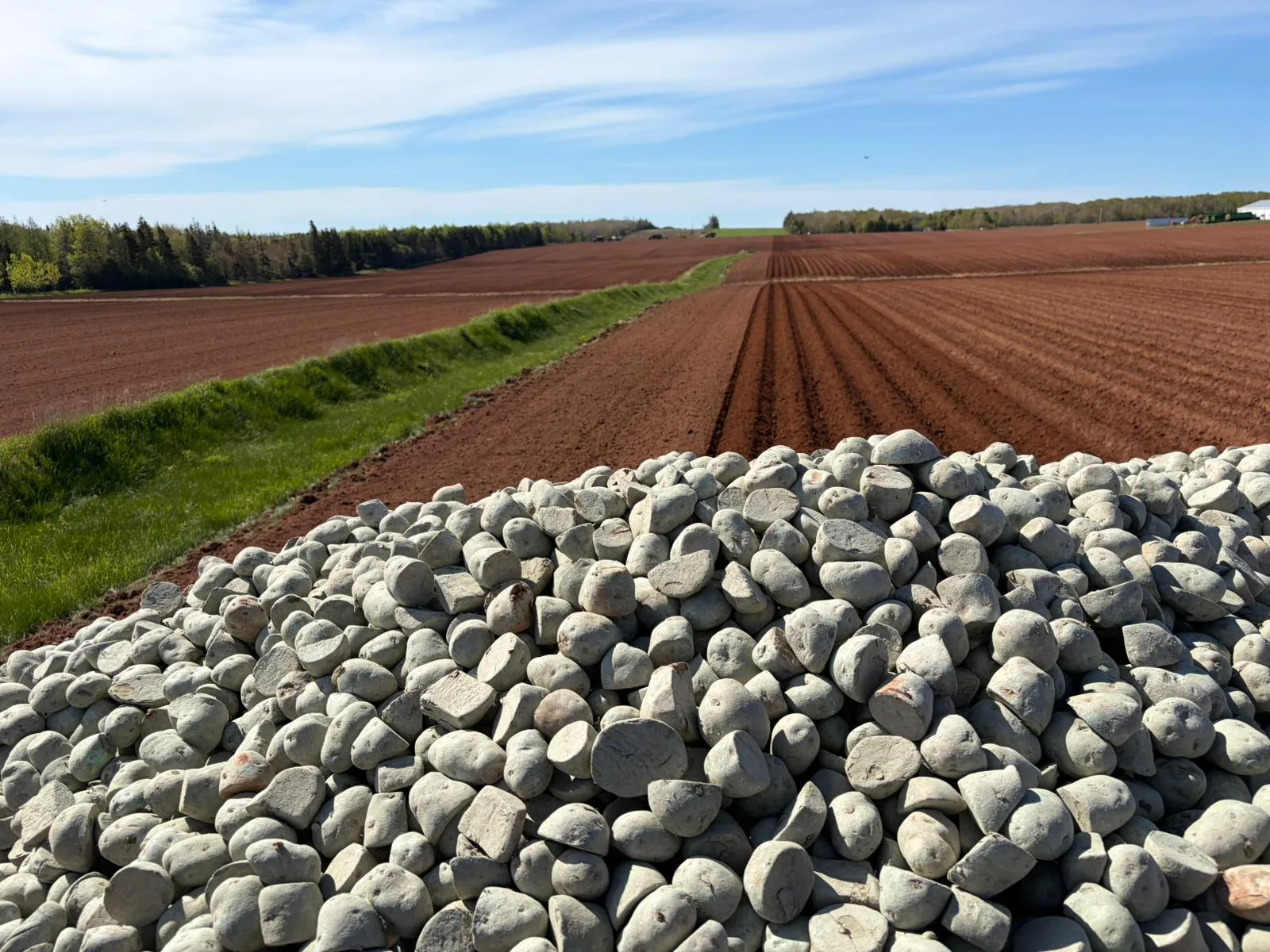
Built on a working PEI farm and run through a full growing season with real growers.
Your data, your control
Farmer-owned. You choose who sees it, what they see and for how long.
Sovereign, wherever you farm
Starting in Canada, with farm data stored and processed here. The same in-country approach goes with us to every new region.
No lock-in
Work across equipment brands, and export your fields, zones and prescriptions whenever you want.
Canadian-owned agricultural intelligence infrastructure.Not another app.
Leadership
Built by people who know tech has to work on the farm.
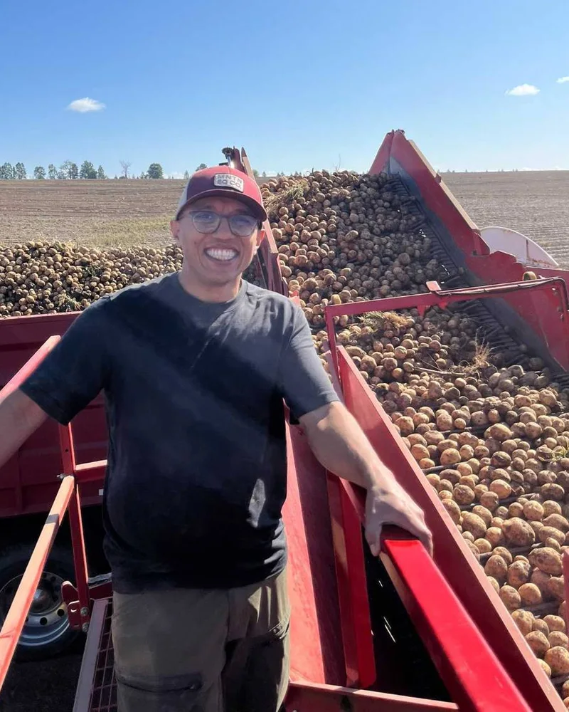
Zohaib Butt
Platform & Operations
A deeply technical software engineer with an operator’s business instincts. Took on the toughest challenges for major retail, banking, telco and media companies, then founded Badal.io, a Google Cloud consulting firm, and led it to a successful exit. Now applying that engineering depth and commercial know-how to build the data and AI platform modern agriculture has been waiting for.
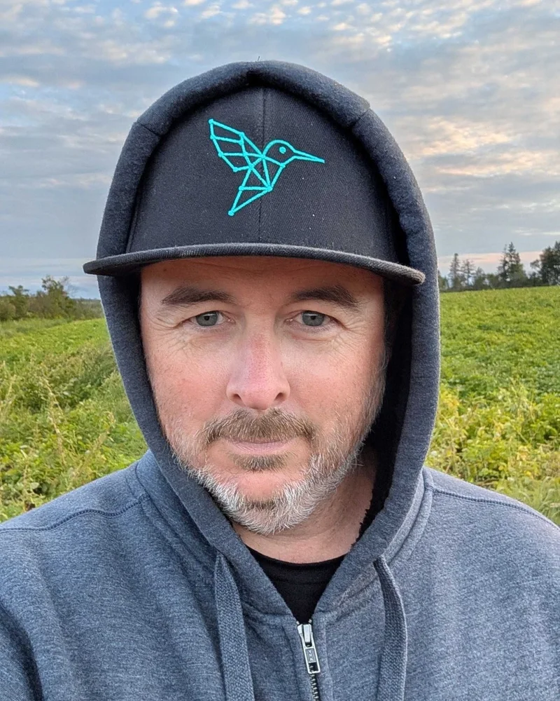
Kyle Bassett
Growth, Community & Partnerships
A technical engineer turned serial entrepreneur who has been down this road before, helping scale SaaS businesses through to successful exits. Founding partner at Arctiq, then led the build of PwC Canada’s cloud engineering practice. Now breaking new ground in agriculture technology, connecting growers, industry partners and the wider farming community to reinvent modern agriculture.
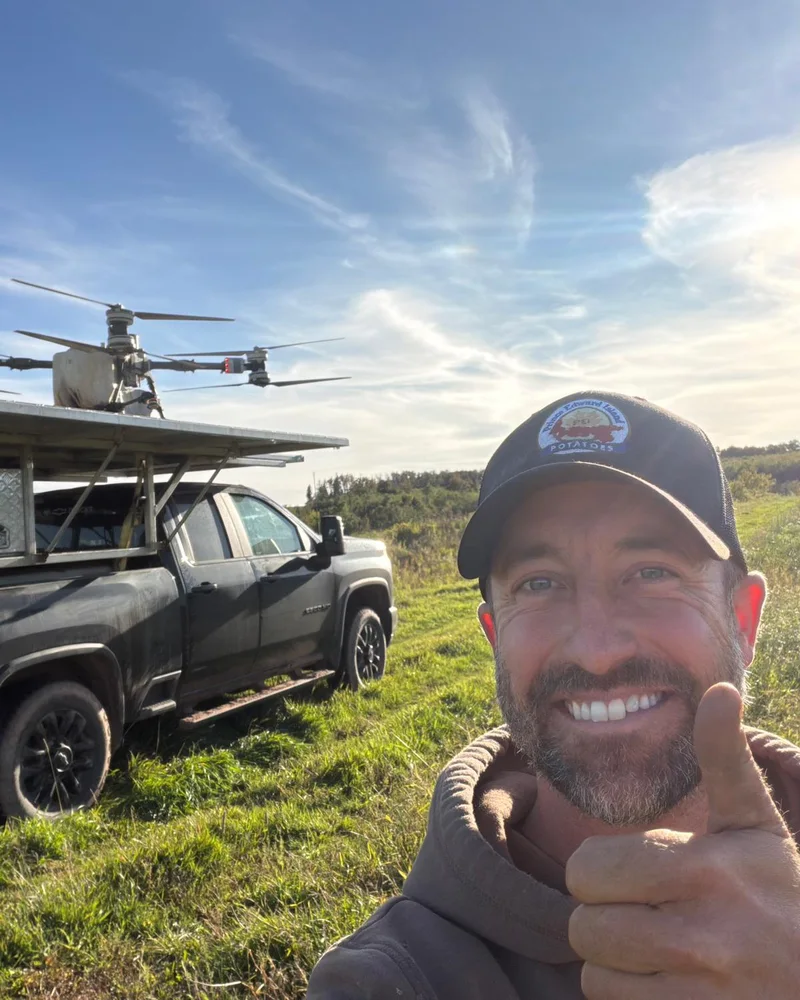
Chad Mooney
Client Success & Farm Management
A farmer and technologist who came home to the family farm after 13 years in the Canadian Armed Forces. Civil Engineering (UNB) and a Master’s in Management Analytics (Queen’s). Puts AI, drones and satellites to work on the family farm and for other growers, making farming better for both the land and the bottom line. Also trains and certifies drone pilots and helps shape drone regulation in Canada.
Farm Forward
Let’s build what’s next, together.
Whoever you are in Canadian agriculture, there’s a seat at the table. If your farm could answer one question, what would you ask it?
- Growers
- Consultants
- Agronomists
- Processors
- Agriculture R&D
- Partners & investors